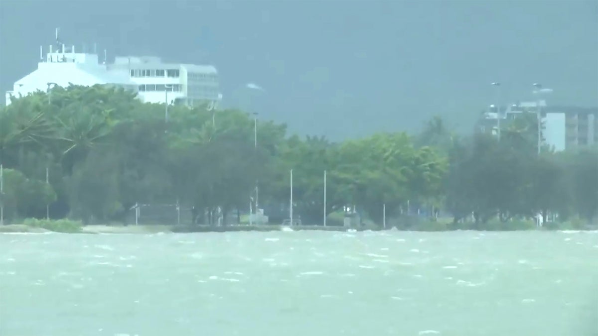
Powerful winds began uprooting trees on the northeast Australian coast on Wednesday as Tropical Cyclone Jasper gathered strength while approaching the area.
Jasper is forecast to intensify from a category 1 to category 2 storm on a 5-tier scale before it becomes the first cyclone of the current season to cross the Australian coast late Wednesday, Queensland state Deputy Premier Steven Miles said.
The cyclone is expected to cross the Queensland coast somewhere along a sparsely populated 200-kilometer (124-mile) stretch from the city of Cairns north to Hope Vale, an Aboriginal community of 1,000. Jasper is expected to lash the coast with winds of up to 140 kph (87 mph) as it crosses from the Coral Sea.
“This is a serious event and it has been some time since this part of the coast has seen a cyclone of this intensity,” Miles told reporters in the state capital Brisbane.
More than 90 people had left their homes for evacuation centers by Wednesday, Police Deputy Commissioner Shane Chelepy said.
Chelepy urged residents of low-lying areas in the cyclone’s path who did not feel safe to move to evacuation centers early before conditions deteriorated.
Government meteorologist Laura Boeke said flash flooding posed the greatest threat as Jasper crossed the coast.
While the winds were expected to quickly weaken as the cyclone moved inland, flooding rains could continue for days.
“There is a risk of riverine flooding as well as storm surge,” Boeke said. “We will ... see a large amount of damage.”
Cairns Mayor Terry James urged his city’s 160,000 residents to prepare for up to five days without power.
“The roads will be cut off. Potentially the power will be cut off,” James said.
Trees around Cairns began to topple in winds as strong as strong as 82 kph (51 mph) by early Wednesday.
Cairns Airport closed late Tuesday due to the worsening weather.


