A radical temperature drop has swept the East Coast following a mild spell, with a cold front lowering temperatures into the upper 20s and lower 30s. This winter sting intensifies the further west one travels, hitting locales from Buffalo to Pittsburgh, Columbus, Detroit, and even Green Bay with single-digit morning chills. This chilling aftermath is a result of a robust storm moving through yesterday, which left hundreds of thousands without power across New England.
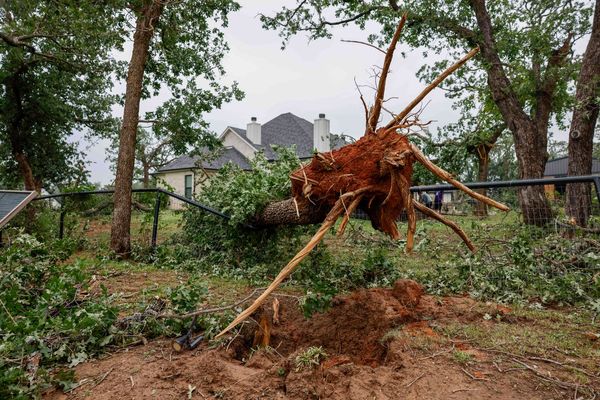
Today, the battle continues against the residual effects of the storm in areas like Maine, Massachusetts, and parts of Connecticut. The storm came with hurricane-force wind gusts, toppling trees and causing minor damage. Especially noteworthy were the winds in Maine, Massachusetts, and North Carolina. Now in its aftermath, areas are grappling not only with the debris but also with an arresting cold wave.
Resident in the regions must prepare for the onslaught of lake effect snow, triggered by the cold air lingering behind the storm. Regions downwind from Lake Erie and Lake Ontario are the most vulnerable. Simultaneously, potential threats loom over the regions bordering the Great Lakes and the spine of the Appalachian Mountains, with the issuance of watches and warnings.
Adding to these frigid concerns is the high running waterways across New England's rivers, which have led to flood warnings. Eight gauge measurements show major flood stage levels in northern New England, with 36 indicating moderate stages.
Though this bout of frosty weather may seem unending, there is, however, a ray of hope. The latter part of the week promises to usher in warmer weather across the upper Midwest and the East Coast, perfect in time for the Christmas holidays. Despite the imminent frigid blights, it appears our story ends on a warming note, with thawing temperatures ready to relieve the winter chill.


