
Get all your news in one place.
100's of premium titles.
One app.
Start reading
LiveScience
LiveScience
Harry Baker

Clearest-ever seafloor maps show deep-sea 'Grand Canyon' off US coast in stunning detail

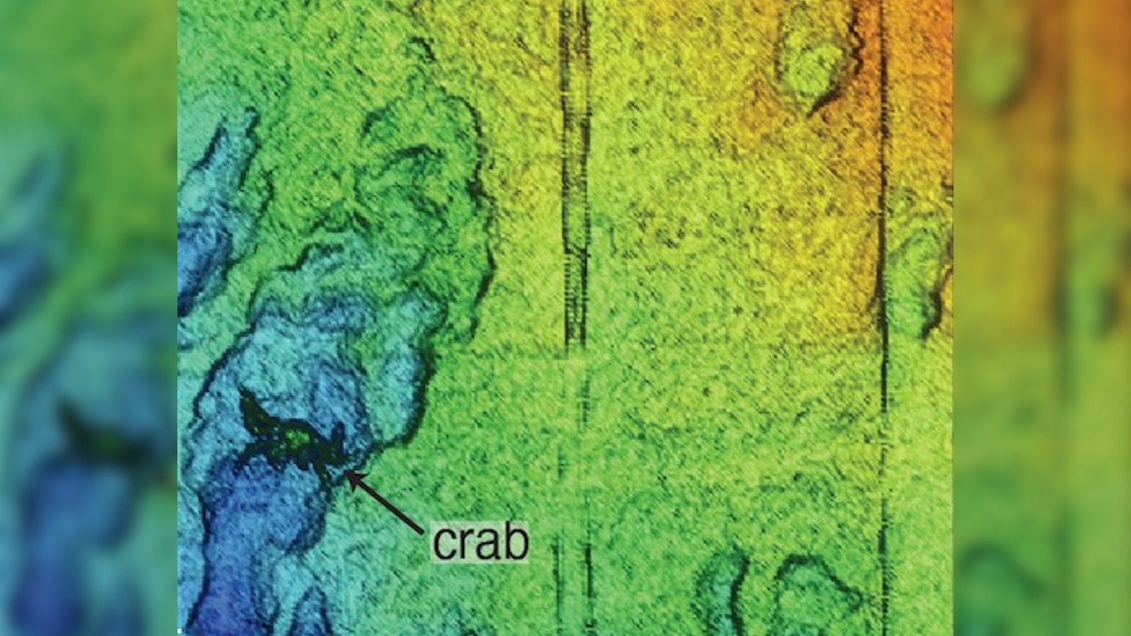
The resolution of the new maps is so high that small seafloor creatures, like this crab, can be clearly seen in the final images. (Image credit: Monica Wolfson-Schwehr © 2023 MBARI)

A massive deep-sea ravine in the Pacific Ocean has been mapped out in greater detail than any other part of the world's seafloor. The new maps of the "deep-sea Grand Canyon" have a "centimeter-scale resolution" and reveal exactly how the underwater valley is constantly changing.

The Monterey Canyon begins just off the coast in Monterey Bay, California. It extends more than 292 miles (470 kilometers) beneath the waves and is around 7.5 miles (12 km) across at its widest point. The underwater ravine has walls up to 5,580 feet (1,700 meters) tall, and at its deepest point the seafloor is around 2.5 miles (4 km) below the ocean's surface. 

Sign up to read this article
Read news from 100's of titles, curated specifically for you.
Already a member? Sign in here
Related Stories
Top stories on inkl right now
One subscription that gives you access to news from hundreds of sites
Already a member? Sign in here
Our Picks
Fourteen days free
Download the app
One app. One membership.
100+ trusted global sources.