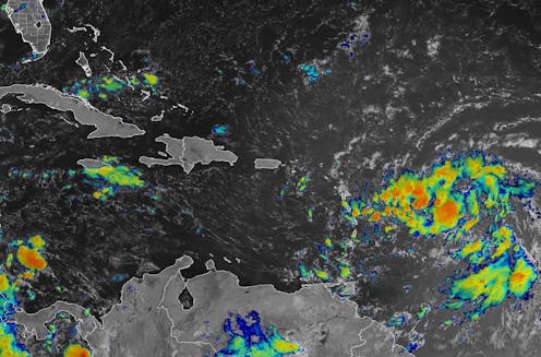
When tropical meteorologists peer at satellite images, they often catch sight of subtle cloud formations hinting at something more ominous brewing.
The first signs of a potential hurricane can be detected days before a storm gains its fierce momentum. Wispy cirrus clouds radiating outward, the appearance of curved banding low-level clouds and a drop in atmospheric pressure are all clues.