Russia’s invasion of Ukraine has brought death and destruction across the country, with millions of civilians forced to flee since fighting broke out almost two weeks ago.
The Kremlin initially said it was only targeting military facilities, but Ukrainian president Volodymyr Zelensky and other officials soon accused Russia of indiscriminately shelling residential buildings, schools and hospitals around the country.
Video footage showed Zaporizhzhia nuclear power plant in southeastern Ukraine being hit by airstrikes, while emergency services could be seen at the site of a bombed out school in the northern city of Zhytomyr in another clip.
The UN human rights office on 8 March confirmed 474 Ukraine civilians had died and 861 had been injured since the Russian invasion began on 24 February – although it acknowledged the real figures were likely to be much higher.
Two million people - half of them children - have also fled the country since Russian troops arrived, the UN High Commissioner for Refugees and Unicef confirmed.
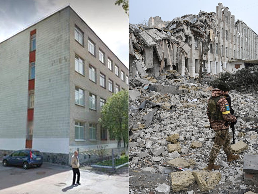
The following before and after pictures show some of the destruction caught on camera by photographers on the ground in Ukraine compared to Google street view images from before the invasion.
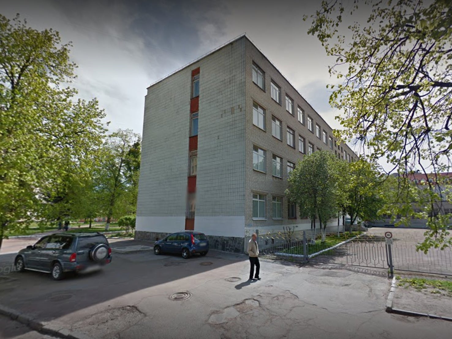
‘School number 25’ in Zhytomyr, northern Ukraine
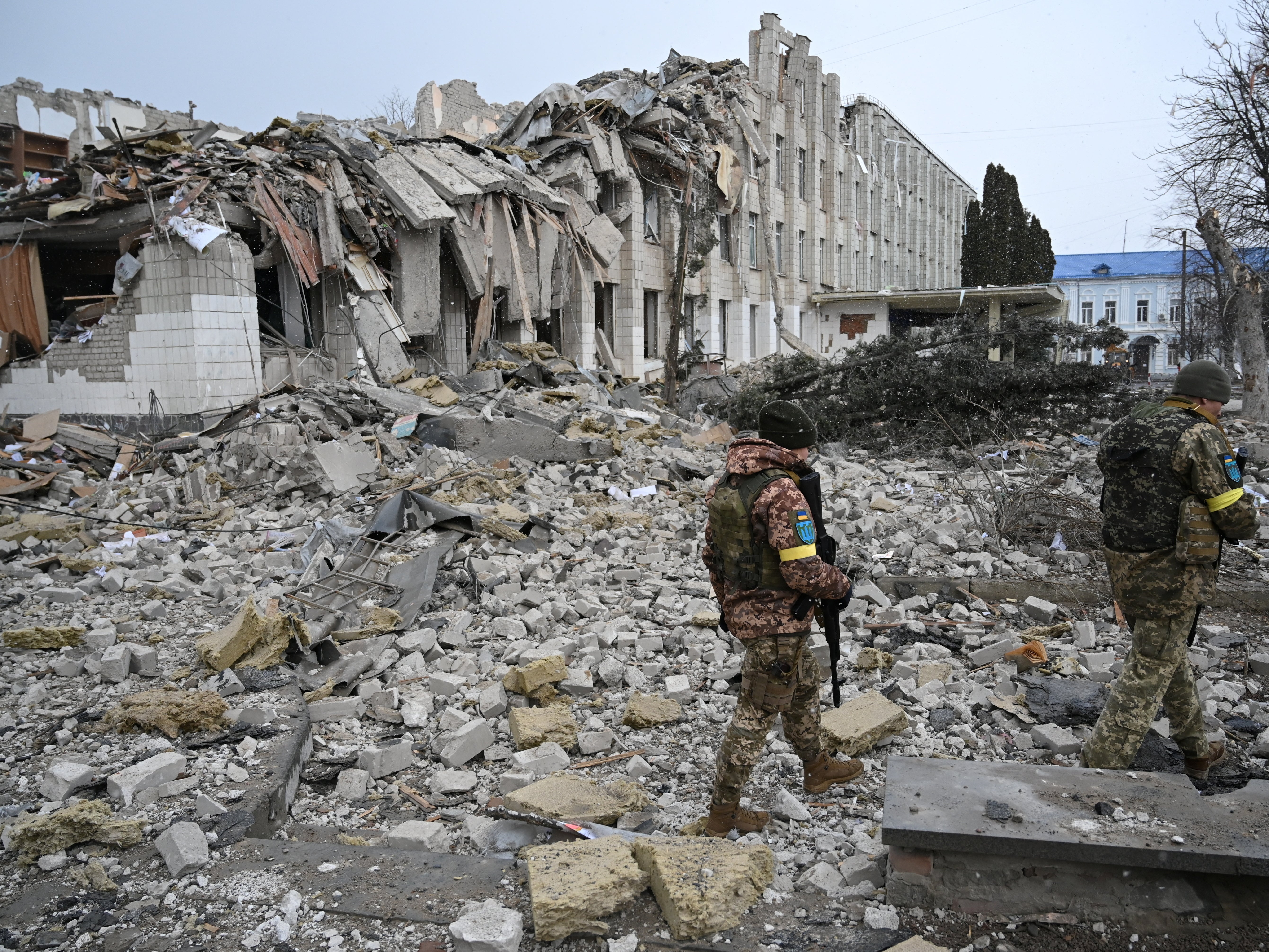
Two members of the Ukrainian military walk among piles of rubble as they pass destroyed buildings at the site of “School number 25” in the city of Zhytomyr, west of Kyiv, on 4 March.
The city’s mayor Serhiy Sukhomlyn said in a video address that the school had been hit by a “missile or a bomb” and that half of the school was ruined.
Windows were blown out and part of the roof was missing, while the entrance was severely damaged. What appeared to be school books were visible in the rubble.
The first image shows part of the school site from a slightly different angle in May 2015.
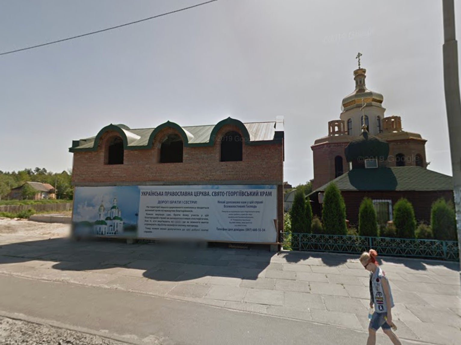
Building in Irpin, near Kyiv
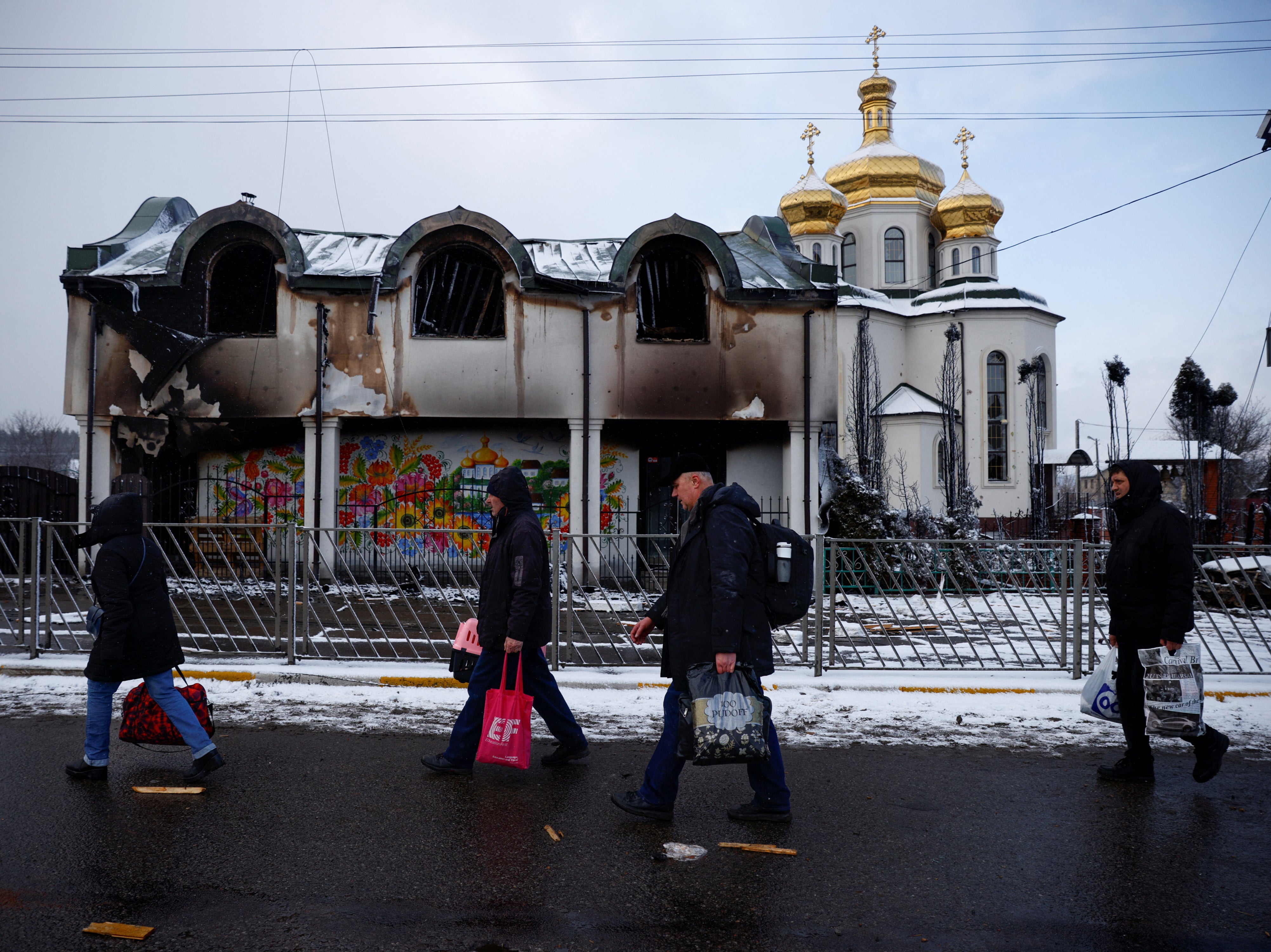
People walk past a damaged building in the town of Irpin, on the outskirts of the Ukrainian capital Kyiv, as they flee from advancing Russian troops on 8 March.
The building appears to be pictured beside a church under construction in May 2015 in the first Google street view image.
Central square Kharkiv, northeastern Ukraine
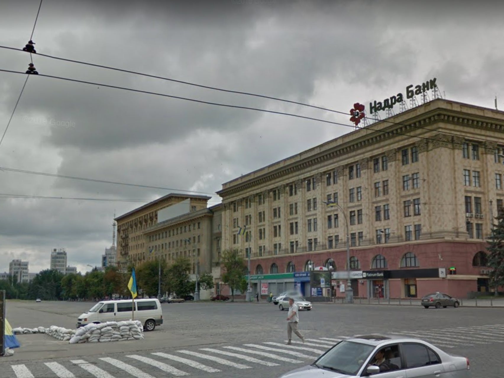
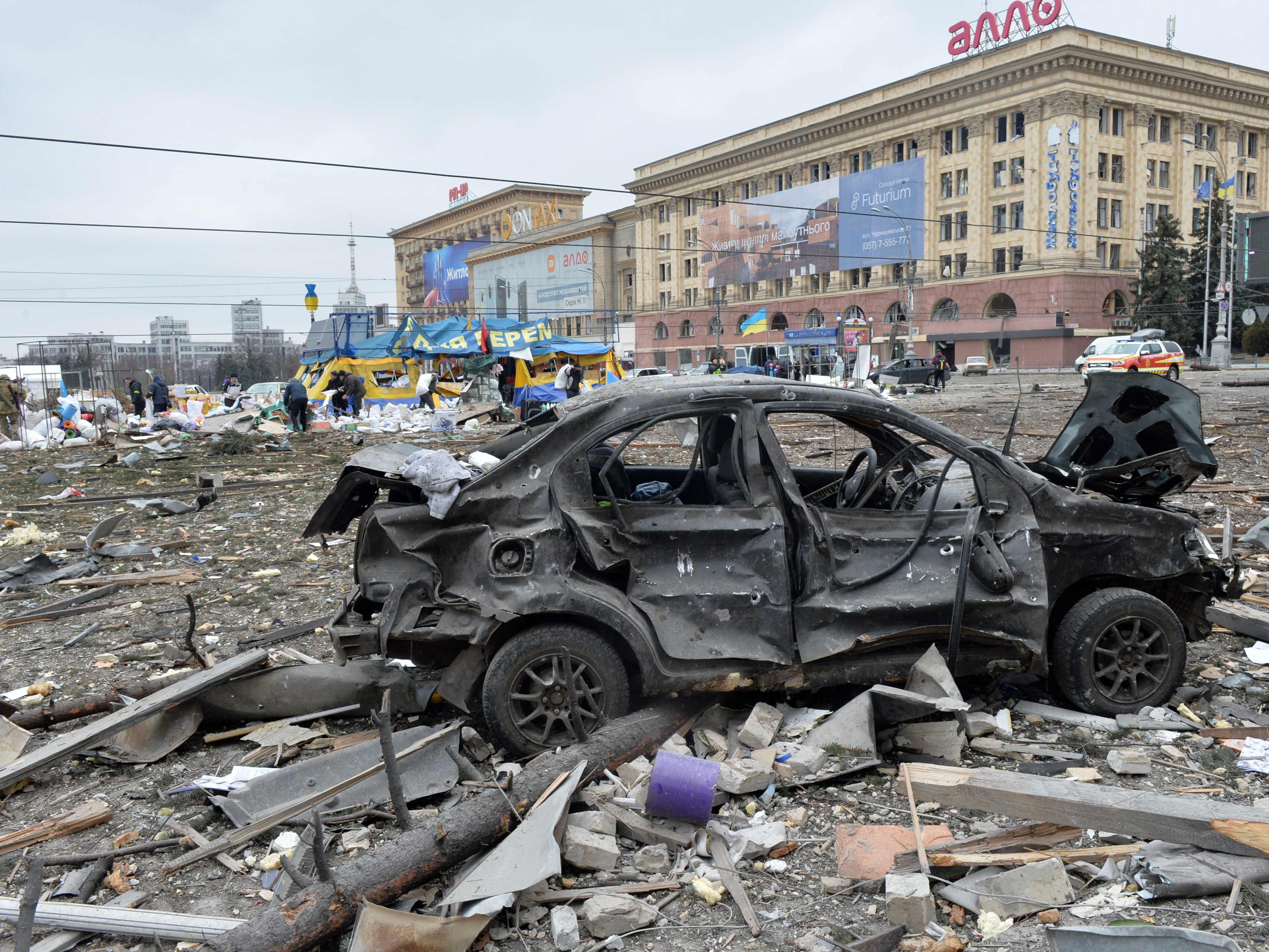
A burnt-out car can be seen in this image of Svobody (Freedom) Square in Ukraine’s second-largest city Kharkiv on 1 March.
The central square was shelled by advancing Russian forces who hit the building of the local administration, according to regional governor Oleg Sinegubov.
Kharkiv, a largely Russian-speaking city near the Russian border, has a population of about 1.4 million.
The first image shows the square from a similar angle in June 2015.
Constitution Square, Kharkiv
This picture shows damage after Russian shelling of Constitution Square in Kharkiv on 2 March.
On the seventh day of fighting in Ukraine, Russia claimed control of the southern port city of Kherson as street battles raged in Kharkiv.
The square can be seen from the same angle in the first image during more peaceful times in June 2015.
Karazin Kharkiv National University, northeastern Ukraine
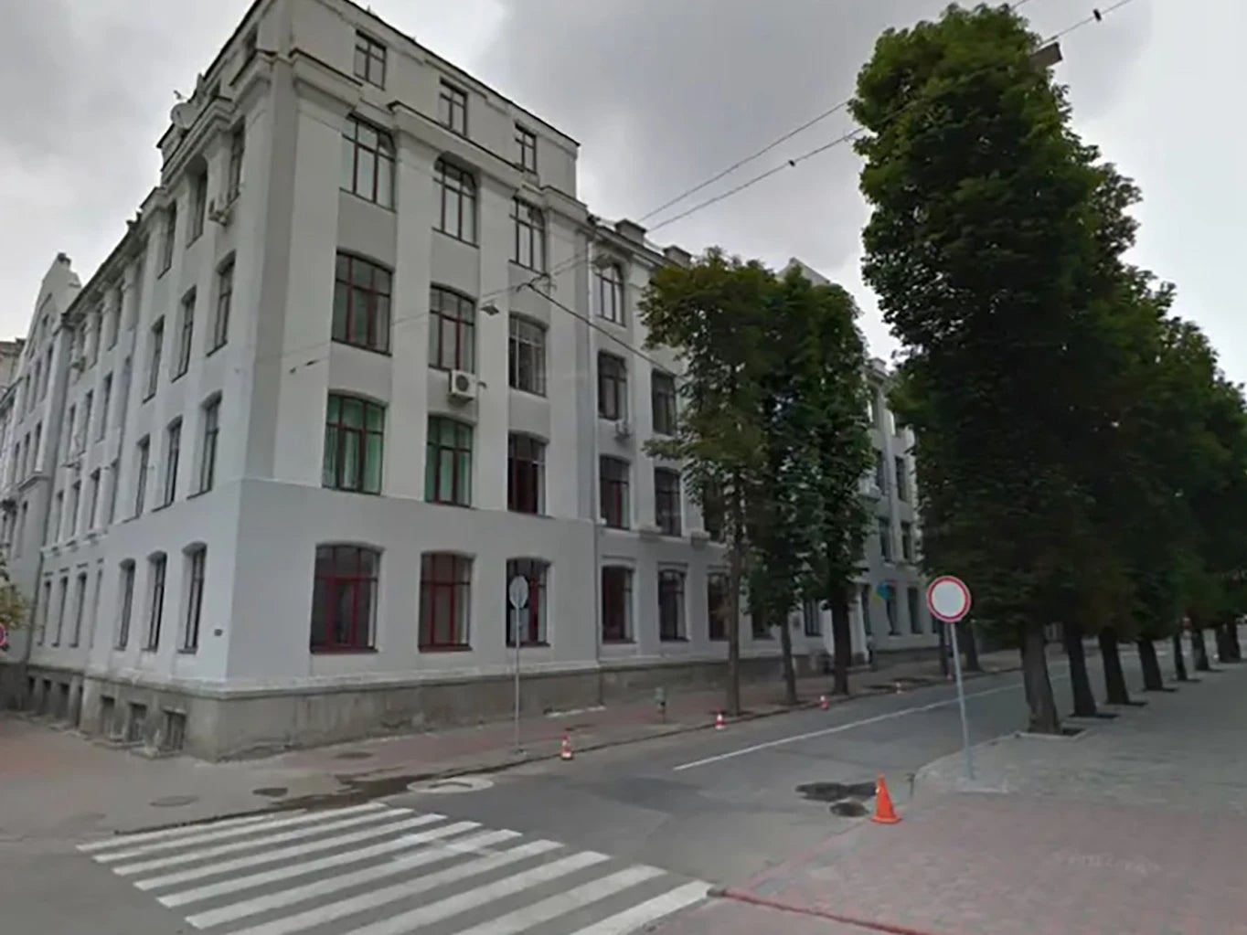
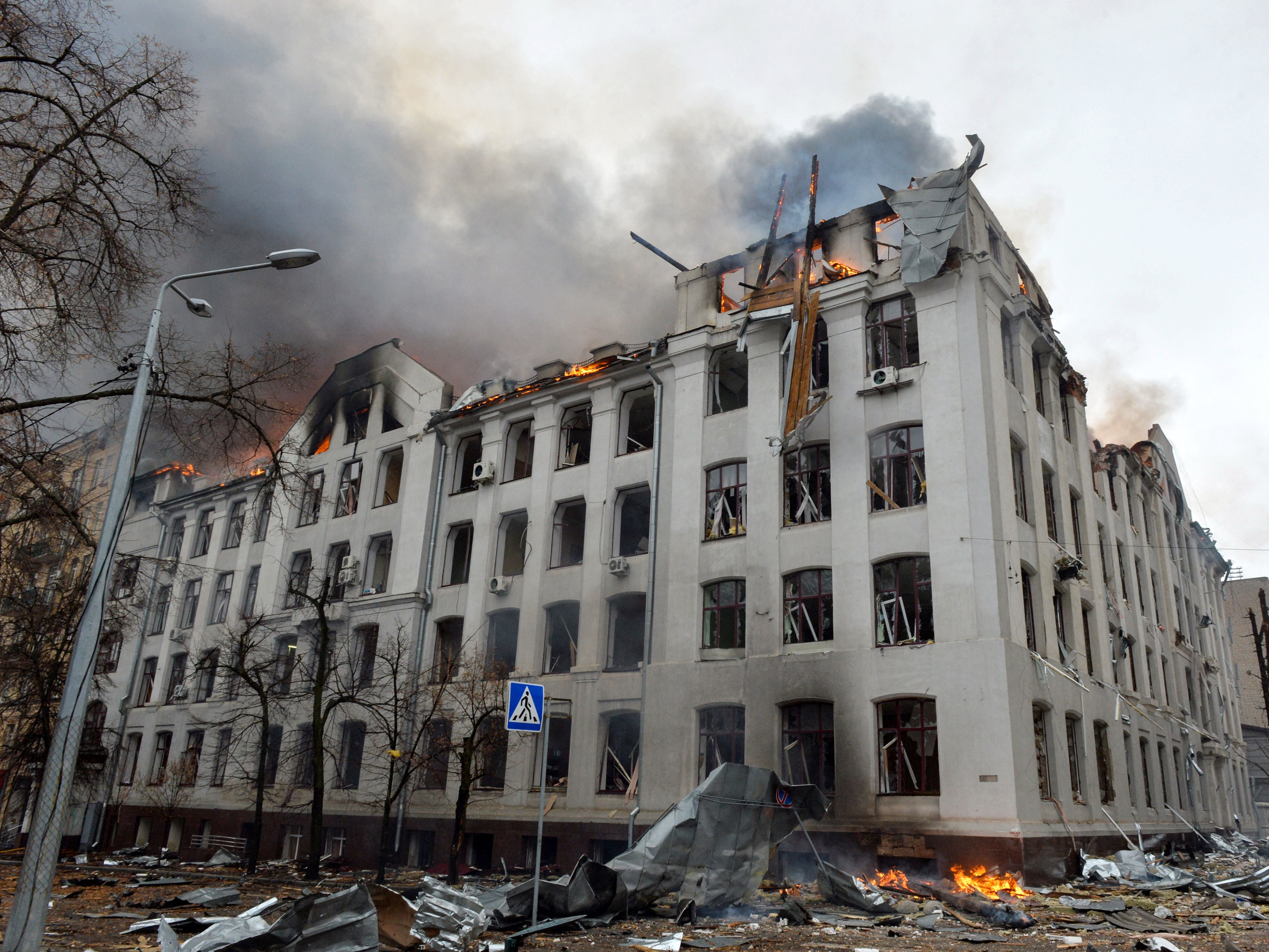
This image shows a fire at the Economy Department building of Karazin Kharkiv National University after it was hit by shelling on 2 March.
Downtown Kharkiv
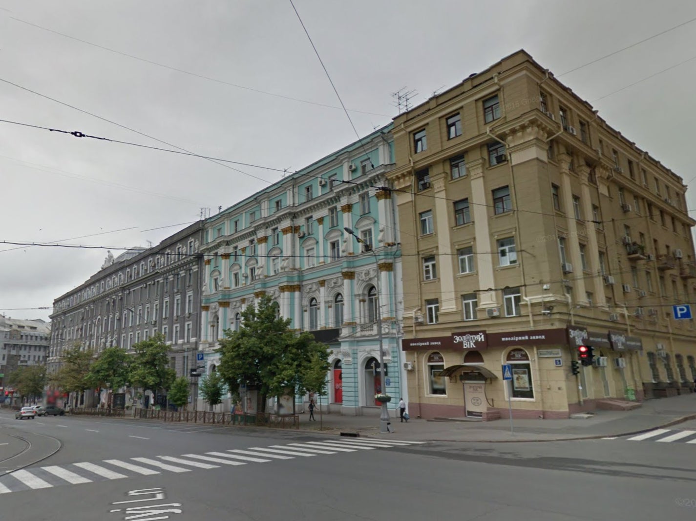
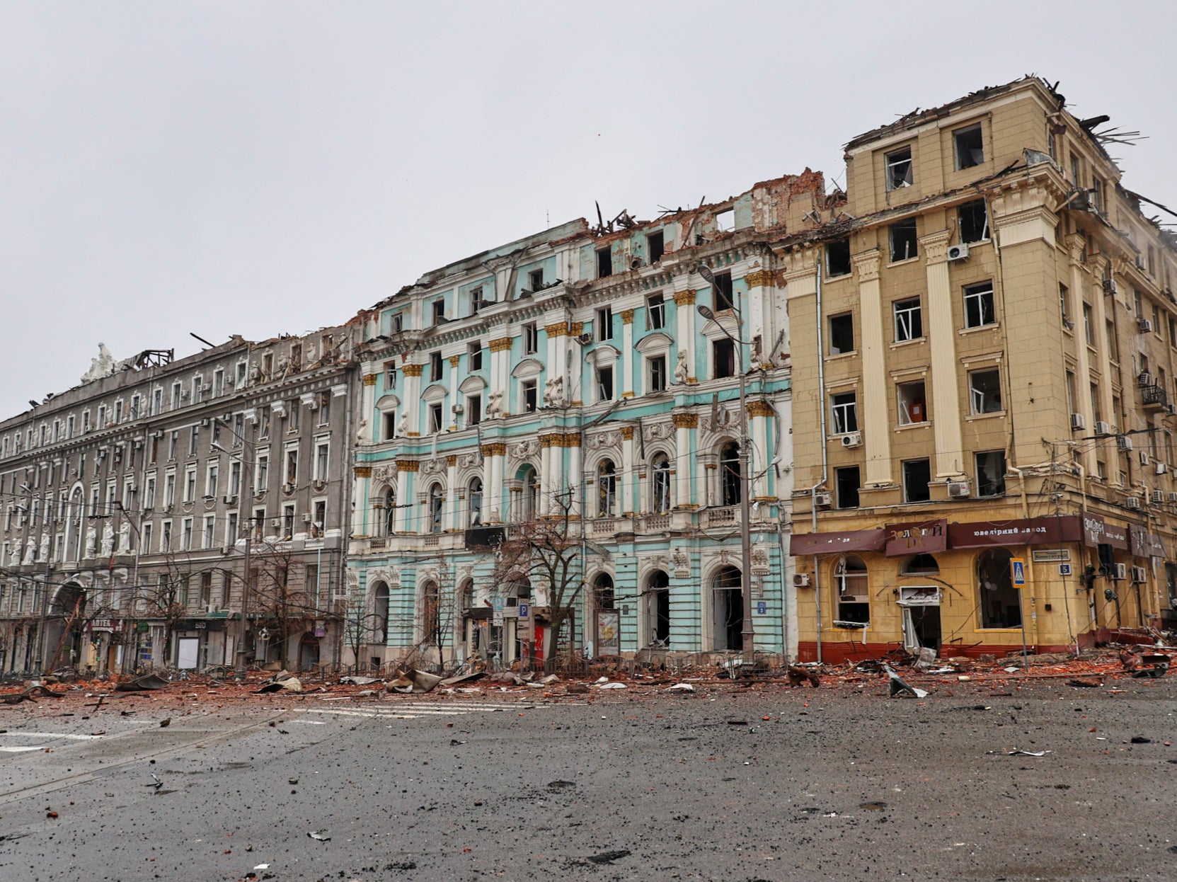
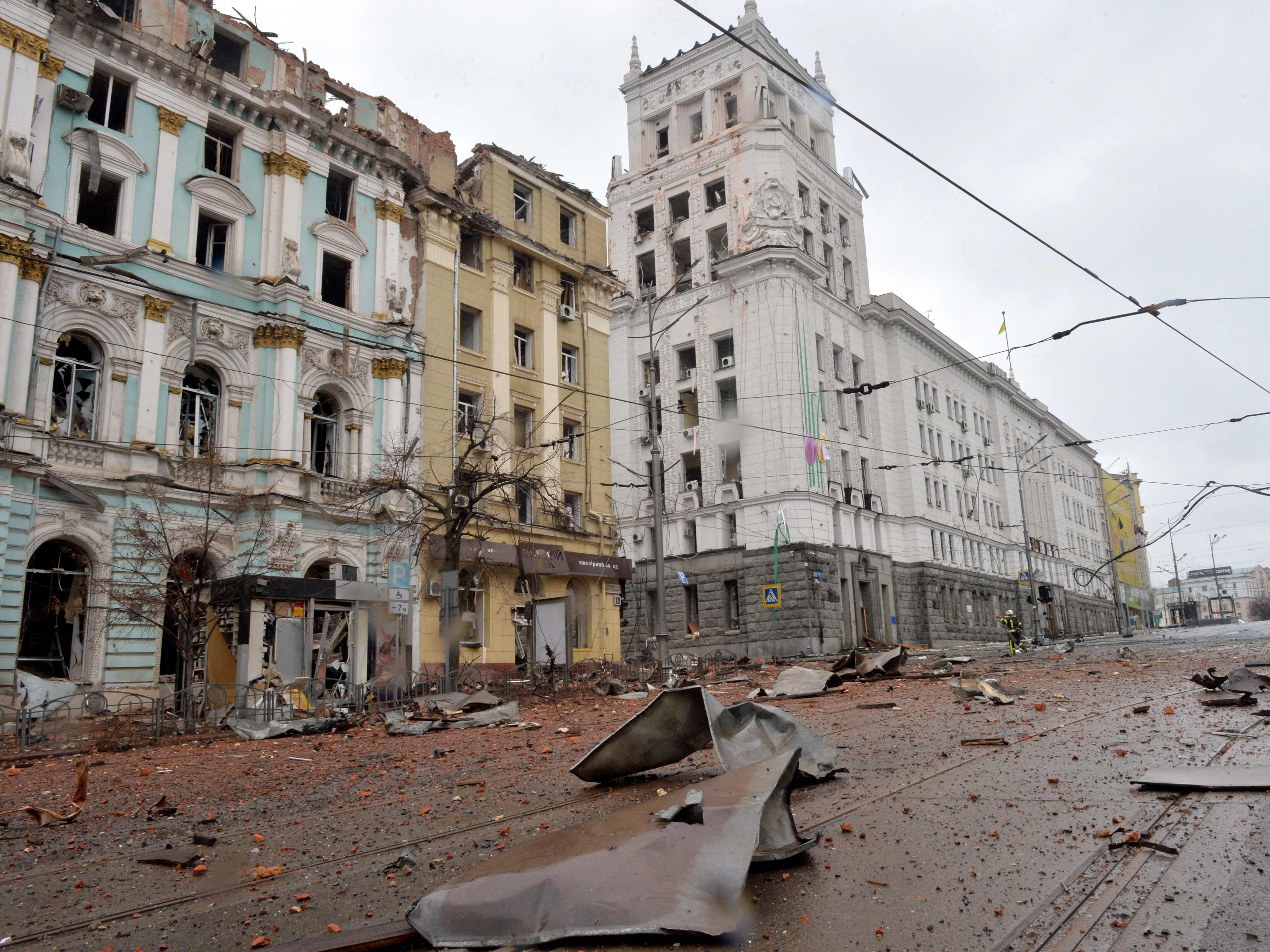
Several damaged buildings in downtown Kharkiv can be seen in this image taken from a different angle in the city’s constitution square on the eighth day of fighting on 3 March.
The first image shows the area in June 2015 prior to the Russian invasion.
City Hall building, Kharkiv
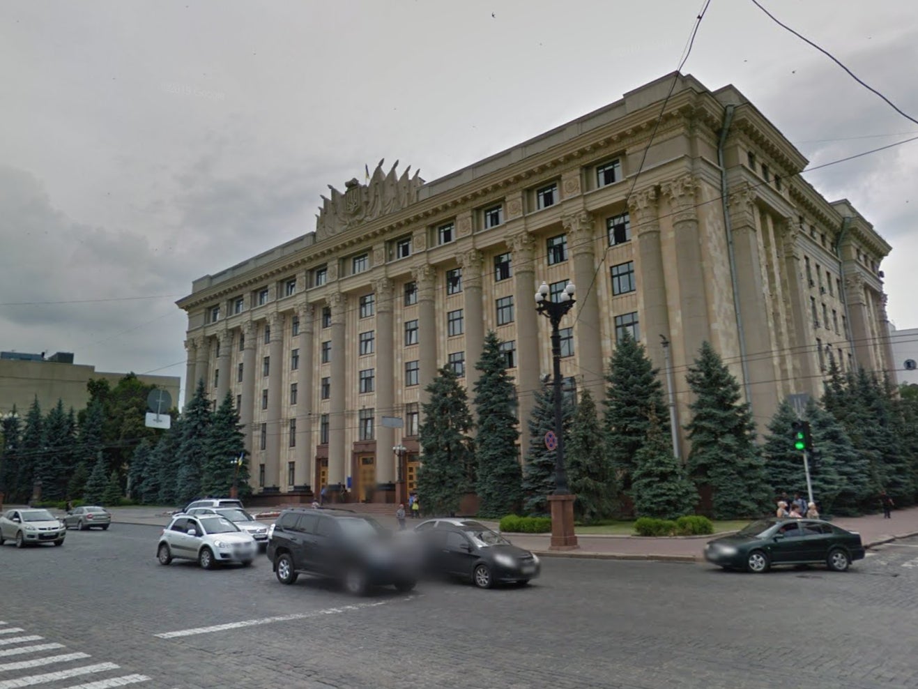

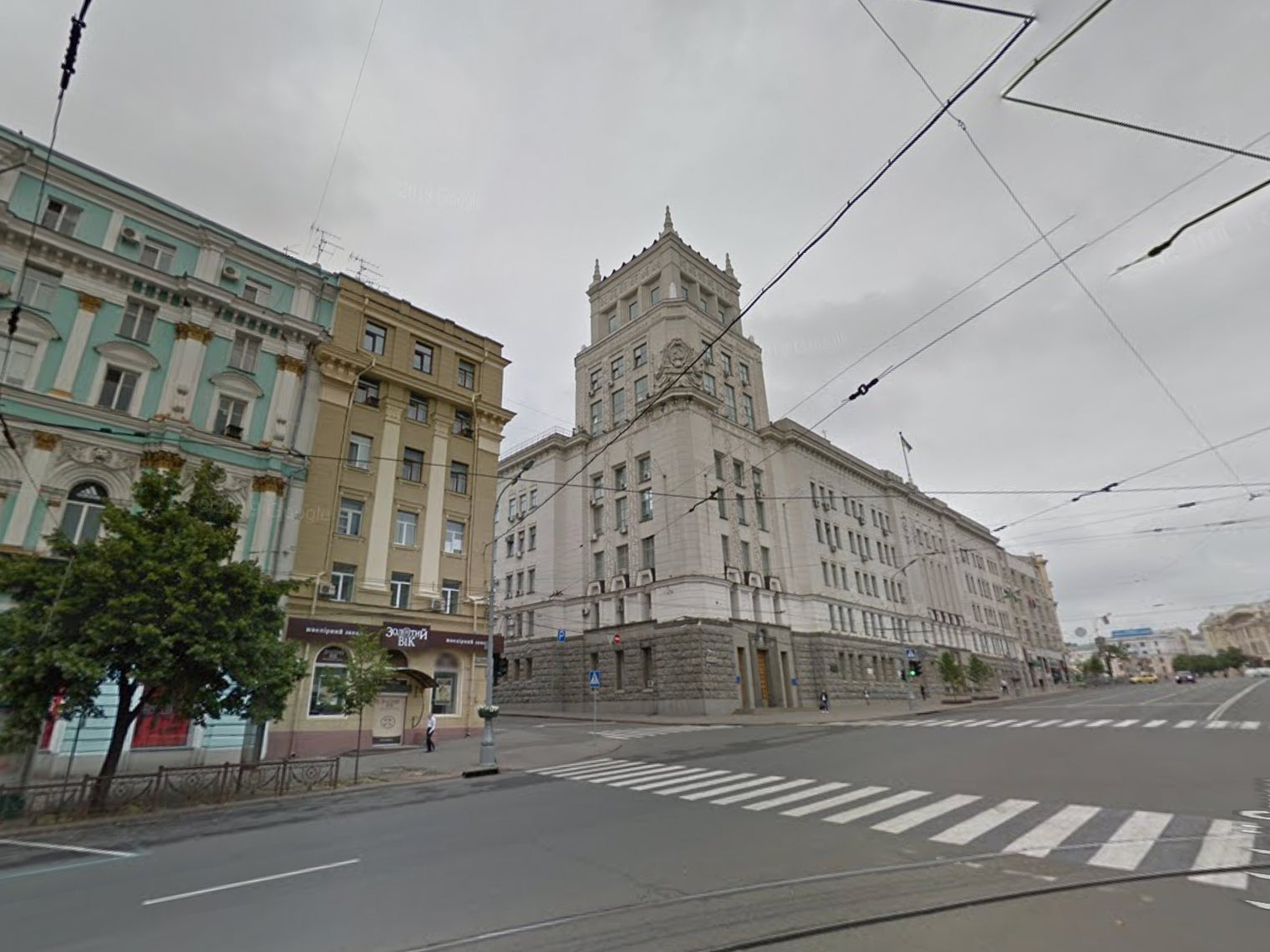
And lastly, a member of the Ukrainian Emergency Service looks at the City Hall building in Kharkiv’s central square following shelling on 1 March.
By contrast to the first image, from June 2015, the windows of the grand building have been blown out, while a row of trees have disappeared.


