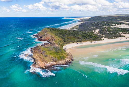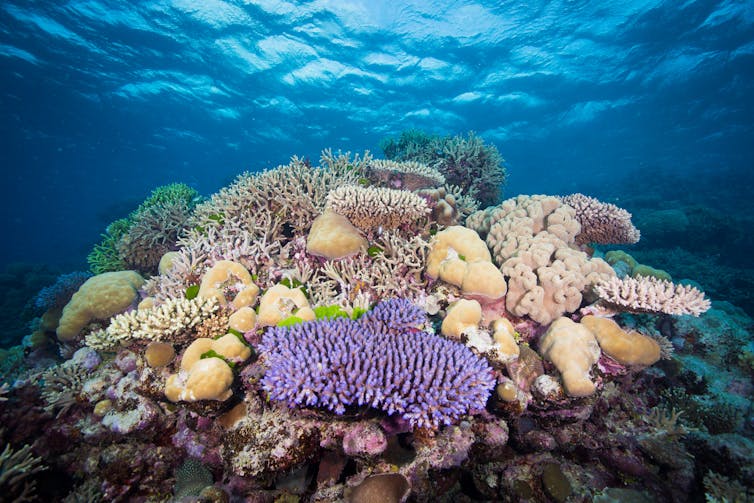
Scientists had always been puzzled why the Great Barrier Reef formed long after Australia had conditions suitable for reef growth. It turns out the answer might be K'gari (Fraser Island).
K’gari, the world’s largest sand island and a UNESCO World Heritage Area, juts out from the Australian coastline where the continent extends furthest east. It lies at the northern end of one of the world’s largest and longest longshore drift systems. If not for the presence of K’gari, the sand carried by this system would continue to migrate northward directly into the area of the Great Barrier Reef, which starts a little north of the island.
The volumes of sand carried along the coast are immense. It is estimated 500,000 cubic metres of sand moves north past each metre of shoreline every year.
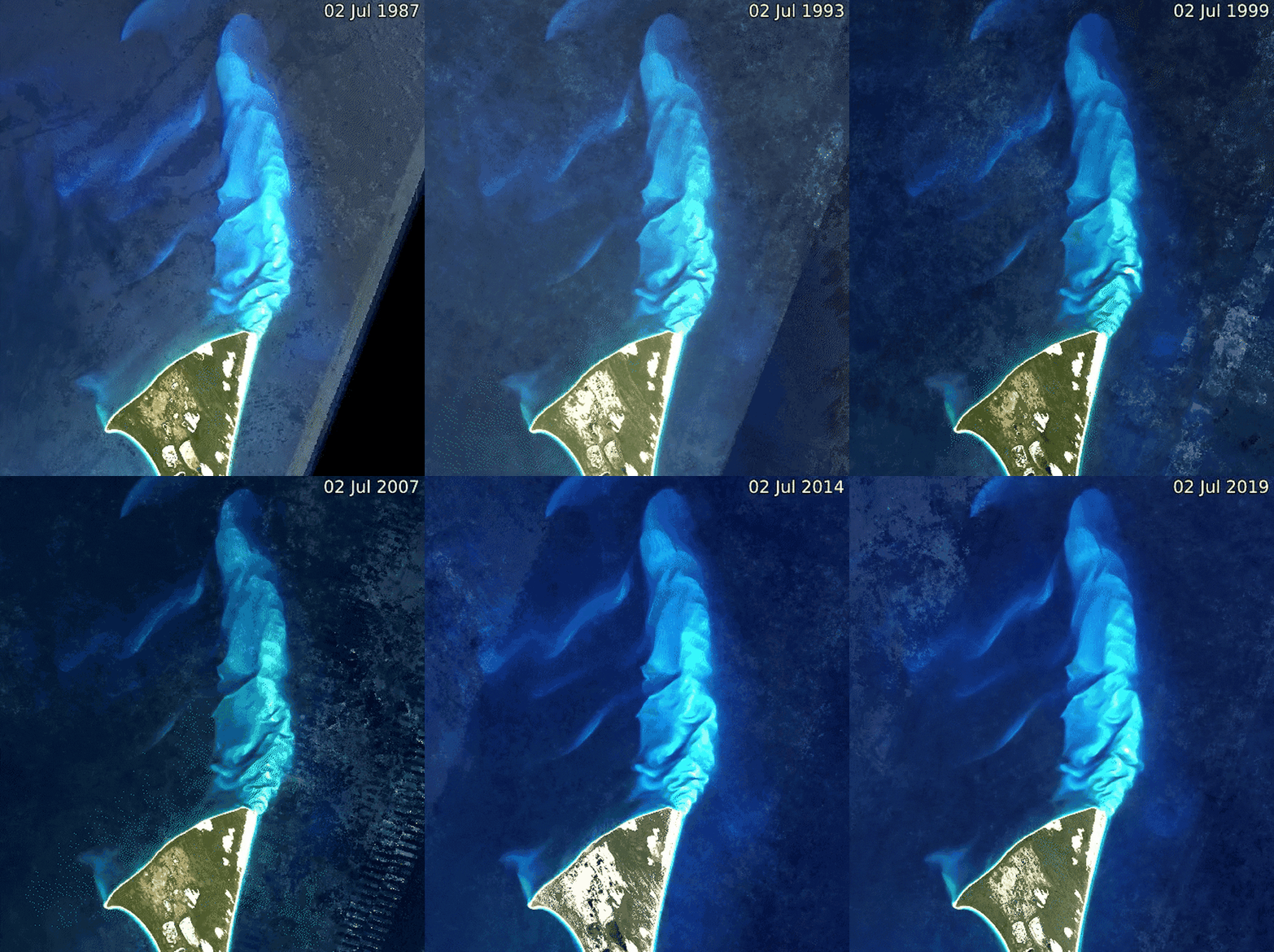
K’gari plays a key role in delivering this sand to the deep ocean. Sand moving along its eastern beaches is directed across the continental shelf and into the deep immediately north of the island. The dominant south-easterly trades would drive sand all the way into the full tropics if K’gari did not direct it off the shelf.
Our research, published today, has established the age of K'gari as being older than the Greater Barrier Reef. This suggests the reef became established only after the island protected it from the northward drift of sand.

Read more: From enormous tides to millions of shells, here are 6 unique beaches for your summer road trip
Why does the reef depend on the island?
The southern limit of the Great Barrier Reef is not a result of the climate being too cool further south. Corals can and do grow many hundreds of kilometres further south in places like Moreton Bay (Brisbane) and Lord Howe Island.
The main limiting factor for the southern extent of the reef is the drowning of corals by the rivers of sand going north. The corals in places like Moreton Bay occur where they have a hard substrate to grow on and are sheltered from sediment inundation.
The sand comes from sediment delivered to the Tasman Sea via the Hawkesbury and Hunter rivers in mid-New South Wales. Prevailing south-easterly breezes and their associated coastal wave systems sweep these sediments north for more than 1,000 kilometres.
The geological setting of eastern Australia is rather stable, so this longshore drift system should have been in operation for many millions of years. The Great Barrier Reef corals could not have survived without some protection from this northward flow of sand.
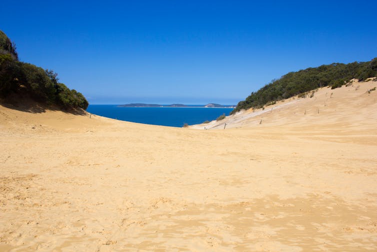
The techniques we used to establish the age of the coastal dune fields of K’gari and the adjacent Cooloola Sand Mass on the mainland south of K’gari show the first coastal dunes date to about 1 million years ago. The modern dune fields were established by 700,000-800,000 years ago. Prior to 1 million years and definitely prior to 700,000-800,000 years ago, sand would have drifted north into the region of the modern barrier reef.

Read more: Celebrating K’gari: why the renaming of Fraser Island is about so much more than a name
Why did K'gari form at that time?
This timing coincides with a major geo-astronomical event, the Mid-Pleistocene Transition. At this time Earth’s glacial cycles changed from a period of about 40,000 years to about 100,000 years. This change had a major impact on global sea levels because the longer cycles supported the growth of larger ice caps during cold periods.
Prior to this transition, global sea levels went up and down about 70 metres between warm (interglacial) and cold (glacial) periods. Afterwards, the range increased to 120-130m.
Under a longshore drift system some sediment “leaks” out into deeper water where currents and waves are not strong enough to move it. A drop of 70m would still leave the South-East Queensland coastline on the continental shelf. So, before the Mid-Pleistocene Transition, sand moving north would be gradually stored on the outer parts of the continental shelf, potentially accumulating over millions of years.
Once the first 100,000-year cycle occurred, sea levels would have dropped to the outer edge of the continental shelf. During the start of the next warm period, rising sea levels would erode the accumulated sands and transport it shoreward. This would drive a major period of dune building along the coast.
This was a major event because sediment accumulated over millions of years was added back into the sedimentary system. The very different dune types associated with plentiful sand are recorded in the oldest parts of the cliff sections at Cooloola and K’gari.
Again, remnants of dunes formed when sea levels were low are preserved directly off this coastline. We have shown a major pulse of sand was released into the dune systems formed during the earliest high sea-level periods of the 100,000-year climate cycles.
Read more: Climate explained: humans have dealt with plenty of climate variability

How does that line up with the age of the reef?
K’gari was constructed in its “modern” form between about 1 million and 700,000 years ago. Once it was in place, any further sand driven up the coast during interglacial high sea levels was lost to deep water off the north of K’gari.
The last piece of the puzzle is the age of the Great Barrier Reef. For a heavily investigated natural wonder, this is remarkably poorly defined, but the oldest evidence dates the reef to about 650,000 years ago.
In short, coral reef development appears to not have started until sediment drift from the south was blocked off. In this way the whole of the east coast of Australia is linked together as a single story and K’gari has played a key role in the formation and protection of the Great Barrier Reef.
James Shulmeister received funding for this work from the Australian Research Council. James Shulmeister has been funded from the Marsden Fund (NZ), he has also participated in US NSF and Chinese NSF grants as well as received grants from other sources.
Daniel Ellerton completed his PhD which was funded by the Australian Research Council.
This article was originally published on The Conversation. Read the original article.


