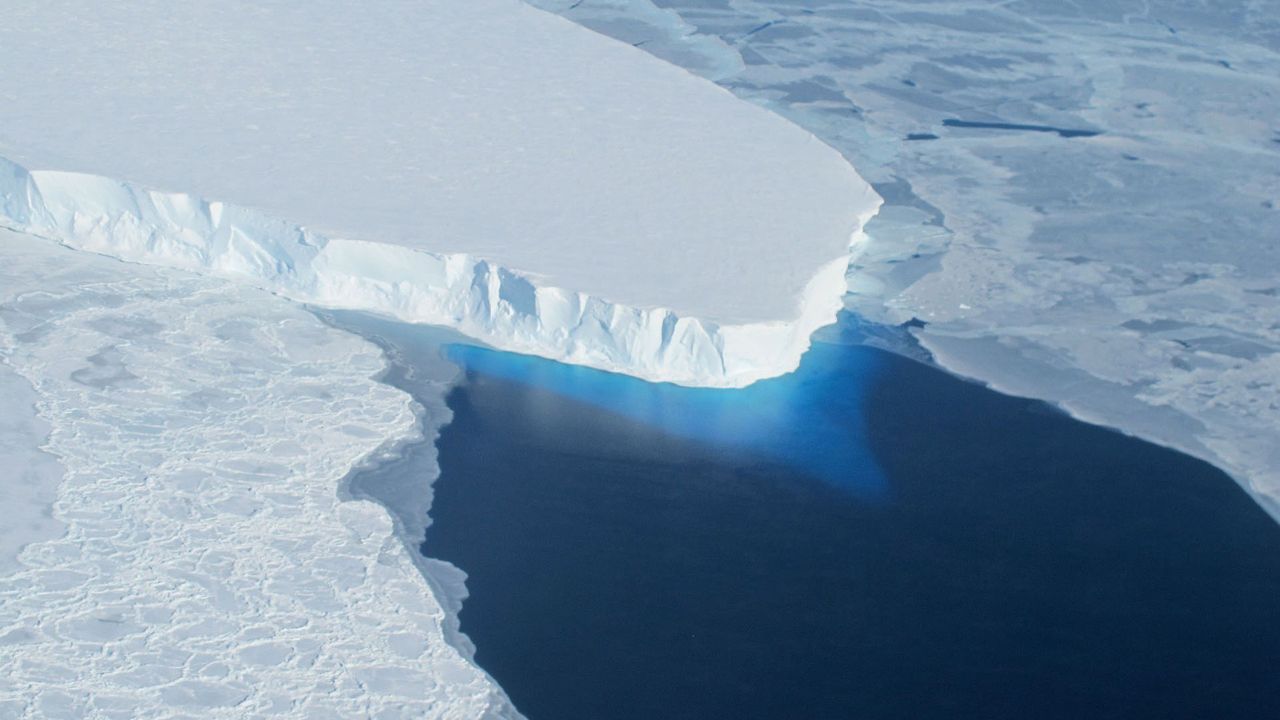
A sweeping new satellite analysis shows that Antarctica has lost nearly 5,000 square miles (12,950 square kilometers) of grounded ice over the past three decades — an area roughly twice as big as Delaware — as warming ocean waters erode the continent's most vulnerable edges.
Led by scientists at the University of California, Irvine, the study traces how Antarctica's "grounding line" — the boundary where ice anchored to bedrock begins to float on the ocean — shifted between 1992 and 2025. Because that boundary marks where land-based ice begins contributing directly to sea level rise, its retreat signals ice-sheet instability and future ice mass loss.