
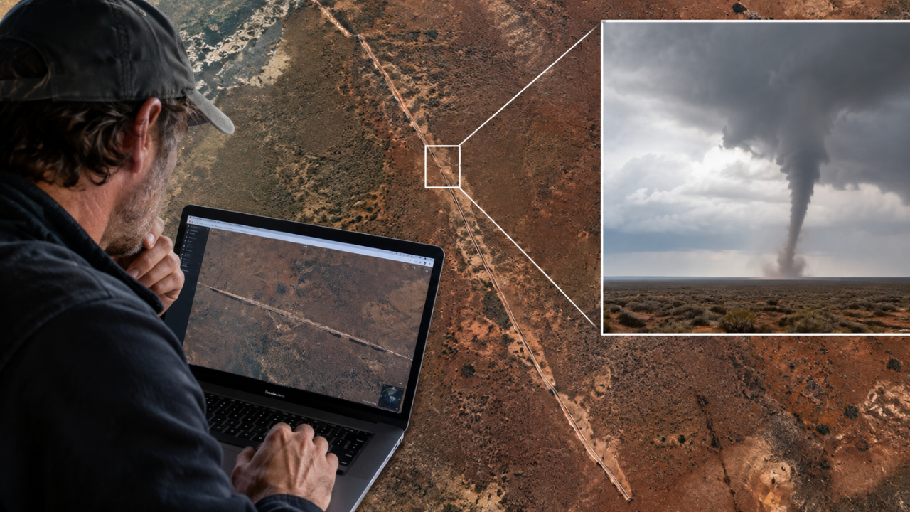
An unusual line across the otherwise open landscape of Australia’s Nullarbor Plain might have gone unnoticed if not for a caver looking at satellite imagery. While browsing Google Earth, he came across a long, narrow disturbance cutting through the remote terrain. There were no buildings nearby, no obvious roads and no reports of a storm that could explain it. From above, the feature looked remarkably clear. It stretched for about 11 kilometres, crossing the border between Western Australia and South Australia. Months later, scientists examining the site and comparing older satellite images reached an explanation.
Get breaking news anytime, anywhere. Download the TOI app now!