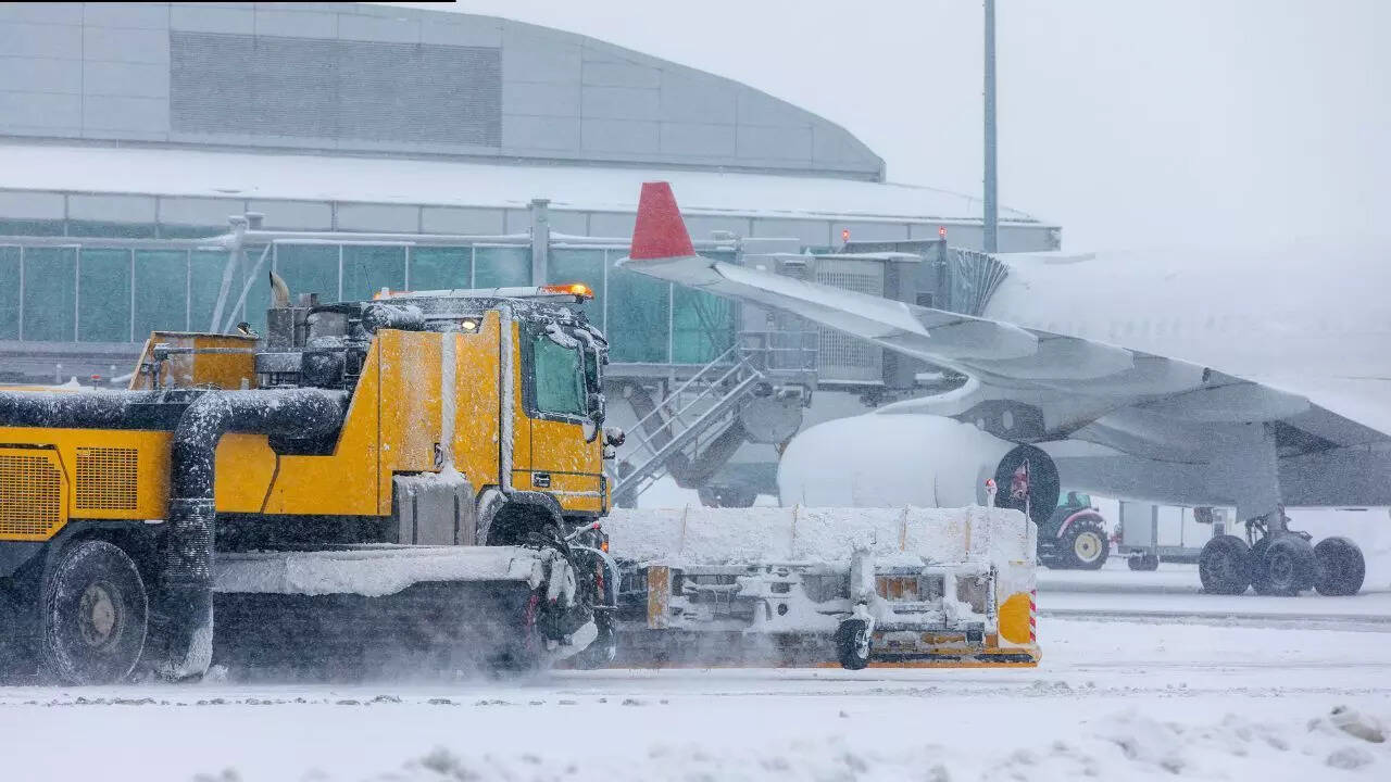
While the effects of a massive storm are still evident from the Plains to New England, winter weather is abating in certain areas of the United States. Over the course of several days, snow, sleet, and freezing rain moved throughout dozens of states, causing extensive disruptions, treacherous roads, and deep accumulations. Now that the storm has moved offshore, chilly air is spreading over a large portion of the country's central and eastern regions. Even while cleanup is ongoing and temperatures remain significantly below average, weather officials say circumstances are gradually getting better. Warnings are still in effect, schools and services are still impacted, and travel is still challenging in certain places. Heavy snowfall has given way to extended cold, which in many parts of the country might persist throughout the middle of the week.
Snow buried cities in America and now extreme cold is taking over
Snow totals across the Northeast were among the highest recorded during the event. Parts of Massachusetts, New York and New Hampshire reported more than 20 inches, with several communities seeing totals that made roads impassable for long stretches. Connecticut, Rhode Island and Maine also saw widespread snowfall in the high teens. Crews continue to clear streets and reopen transport links, though progress has been uneven.
Ice and sleet worsened conditions in southern states
Further south, the storm took a different shape. States including Arkansas, Mississippi, Louisiana and parts of Texas saw significant sleet and freezing rain. In some areas, ice built up on trees and power lines, leading to outages and dangerous driving conditions. Even where snow totals were lower, the ice left lasting problems that are slower to resolve.
Midwest and Ohio Valley faced prolonged disruption
The Midwest and Ohio Valley saw a long period of steady snow, with many locations reporting between 10 and 16 inches. Cities in Illinois, Indiana and Ohio struggled to keep roads clear as temperatures dropped. In parts of Pennsylvania and West Virginia, snow mixed with sleet added to the difficulty. Urban areas recovered faster than rural ones, where access remains limited.
Mountain regions saw extreme snow totals
In the Rockies and the Southwest, higher elevations recorded some of the most dramatic snowfall. Mountain locations in Colorado and New Mexico saw totals well above two feet. While these areas are used to winter conditions, the sheer volume of snow has increased avalanche risk and closed mountain passes.
Dangerous cold becomes the main concern
As skies begin to clear, attention has turned to the cold air settling behind the storm. Much of the central and eastern United States is expected to see daytime temperatures remain below freezing. Overnight lows in some areas are forecast to drop below zero. Weather officials are urging people to limit exposure and check on vulnerable neighbours.
More winter weather remains possible
Lake-enhanced snow is expected to continue around the Great Lakes, with another system potentially increasing snowfall later in the week. Meanwhile, the West Coast is seeing the start of a new pattern, with light rain in California and snow in the Cascades. The broader pattern remains unsettled. For many communities, the storm is no longer falling from the sky. It sits instead in piled snow, iced branches, and the quiet strain of cold mornings that have yet to lift.
The article above is based on the information published by theWeather Prediction Centre.