
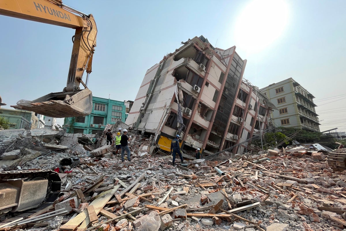
Just after sunrise on Saturday, a satellite set its long-range camera on the city of Mandalay in Myanmar, not far from the epicenter of Friday’s 7.7 magnitude earthquake that devastated the Southeast Asian county's second-largest city.
The mission was to capture images that, combined with artificial intelligence technology, could help relief organizations quickly assess how many buildings had collapsed or were heavily damaged and where helpers most needed to go.