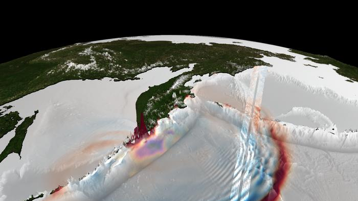
Late on July 29, 2025, the Earth's crust off of Russia's Kamchatka Peninsula ruptured. Deep beneath the Pacific, along a subduction zone where one tectonic plate dives beneath another, a strain that had built up over decades was released in seconds. That rupture, a powerful magnitude 8.8 earthquake, displaced the seafloor and the water column above it, resulting in a tsunami. The tsunami radiated outward across the Pacific, racing across the open ocean as fast as an airplane and eventually surging onto the shore, reaching heights exceeding 55 feet (17 meters).
Scientists have long understood this chain reaction, but a detailed look at how an earthquake-tsunami event unfolds at the source — a subduction-zone trench — has remained difficult to achieve. There aren't enough tsunami-monitoring sensors near the trenches to get a clear look.