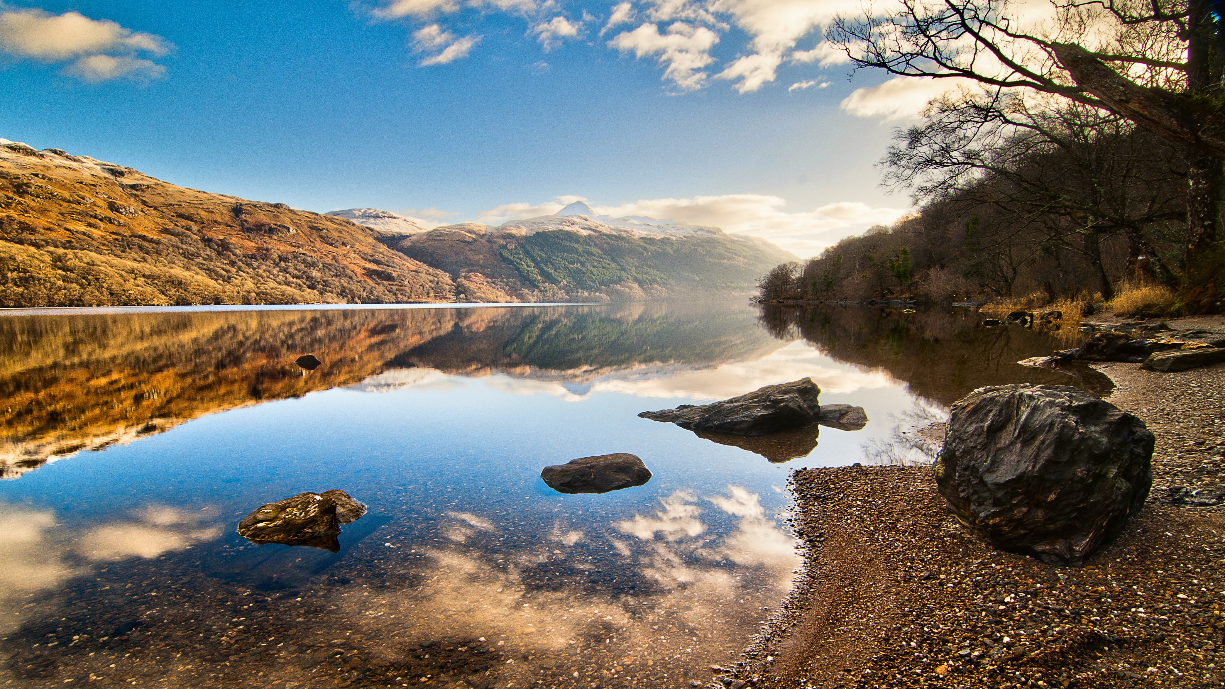
If you're coming to Scotland this year, you're sure to be planning on exploring lovely Loch Lomond. This picturesque Scottish loch is the largest lake in Great Britain by surface area and straddles the Highland Boundary Fault line. Positioned just 14 miles from the country’s largest city, Glasgow, you can reach it easily by car, bike or public transport and it is one of the main gateways to the Highlands.
Surrounded by several Munros and flanked on one side by a stretch of the West Highland Way, there are heaps of adventures to be had on and around Loch Lomond, and though it gets a bit brisk for water sports by winter, if you’re bringing your hiking boots, you can enjoy this area year-round.
We've put together some of the best hikes around Loch Lomond that will deliver you dazzling views of this stunning Scottish loch all with a wild dip afterwards to cool off if you're feeling brave enough! Small towns and villages around the loch also provide ample opportunity to turn any hike here into a pub walk or an overnight stay.
Remember: it can always rain in Scotland, even if the sun is shining and there isn't a drop in the forecast, so pack your best waterproof jacket and rain pants, and don't let the weather spoil your fun. If you're confused by any of the lingo in this article, make sure you read our guide to Scottish hiking terms before you go.
Beinn Dubh
Distance: 3 - 7 miles
Difficulty: Moderate
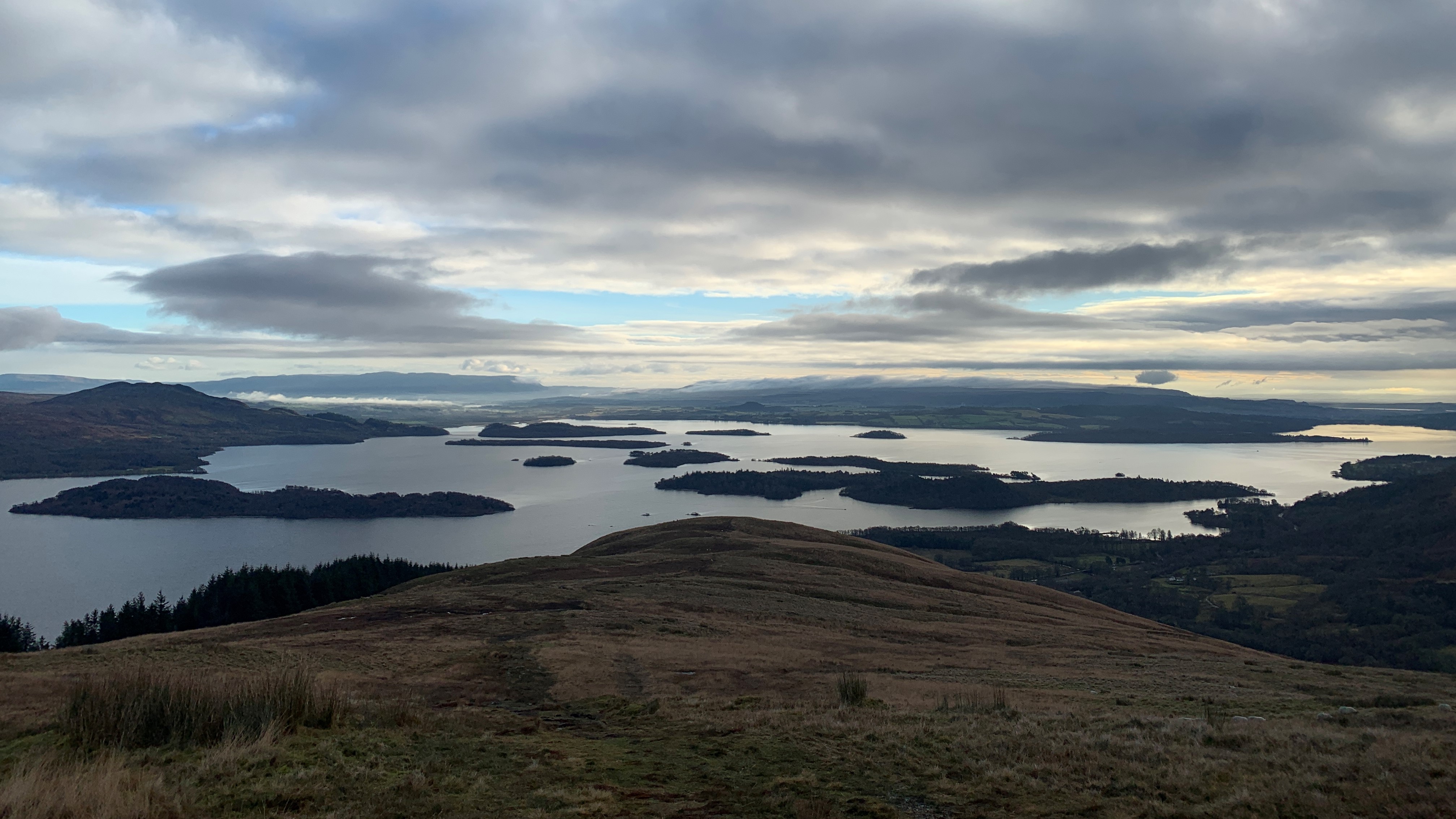
Beinn Dubh is a splendid hill that rises up from the western banks of Loch Lomond via a steep, grassy ascent that can be turned into a longer loop for more challenge. Park in the town of Luss and find the footpath bridge over the A82 (there's a bus stop below this bridge if you’re coming without a car).
On the far side of the bridge, you'll see a house with a kissing gate that has a signpost for the hike. Go through the gate and immediately turn right to head up the hill. Soon break free of the trees then pass through another gate then keep following the muddy track all the way uphill, pausing frequently to turn and look out as the loch reveals itself behind you. The climb is boggy in parts but worth it for the spectacular views.
After a couple of miles, you’ll arrive at a large rock cairn indicating the summit. Turn back here and retrace your steps to the village or keep going across the tops where the views of the Arrochar Alps will be spread out before you. Head northwest and then turn left to head west as you briefly dip down and then start to climb uphill again.
You'll pass another couple of rock cairns then begin to descend steeply on the other side of the Coire from Beinn Dubh. After a very steep descent, cross over a gate and turn left on a small and pleasant country road, crossing over a lovely stone bridge. Walk down this road for a couple of miles and find yourself back at your starting point.
Ben Vane
Distance: 7 miles
Difficulty: Challenging
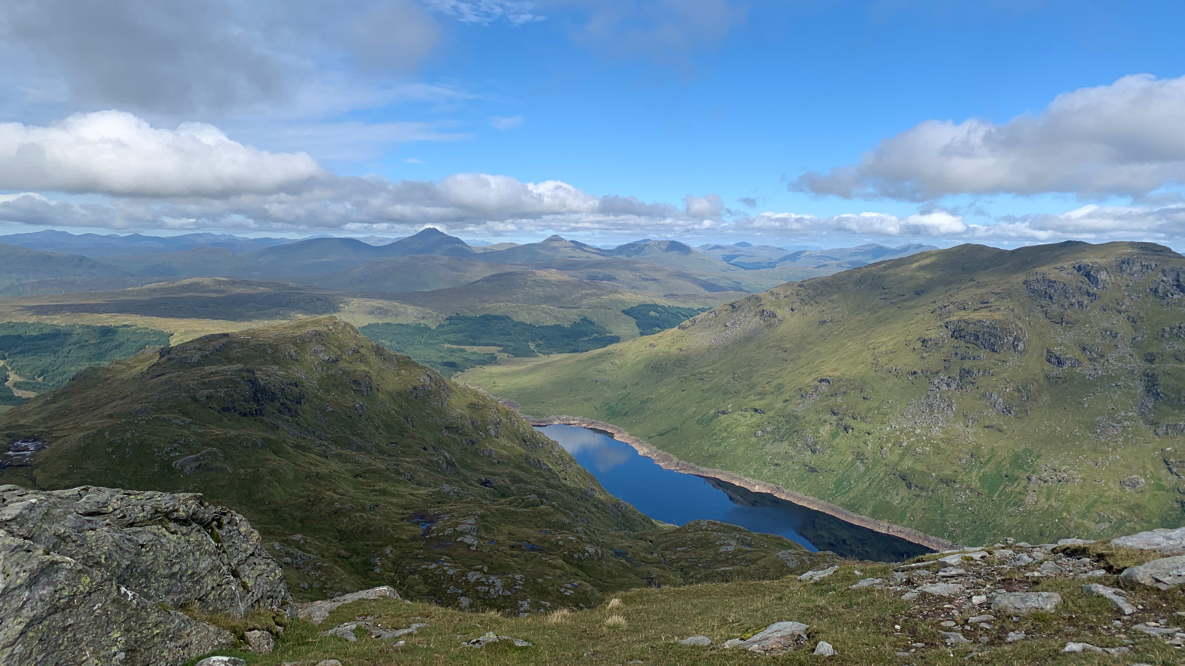
Part of the Arrochar Alps, Ben Vane might only barely make Munro status, however don't underestimate this challenging hike. Park at the visitor centre at Inveraglus and cross the A82 towards the impressive power station here. Turn left and follow a path that parallels the main road for a few minutes.
Soon the path turns right and begins to head uphill, passing under the railway. Pass the electric power station and begin climbing uphill ignoring a road to the right and the first two paths to the left. Up ahead of you, you will see two mountains: Ben Vane on the left and Ben Vorlich on the right.
Soon you'll reach a third path heading off to the left. Follow this and keep your eyes peeled for a path going up to the right just after you cross over a burn. From here just follow the path all the way up the mountain, pausing to admire the Dam at Loch Sloy.
Be warned that the top section of this hike does involve quite a bit of challenging scrambling. You'll want to put the trekking poles away and use your hands for this one. The broad flat summit is quite a surprise after all that claiming and offers fabulous views in all directions.
Ben Vorlich
Distance: 8.5 miles
Difficulty: Moderate
Confusingly, there are two mountains of this name in Scotland, but this one is a Munro that rises up from the western shores of Loch Lomond right next to Ben Vane and is also part of the Arrochar Alps. Ben Vorlich has a reputation among the locals for being difficult but I found it to have a really good path all the way up.
This hike starts from the same place as Ben Vane, so just follow the directions above but keep walking past the turn off to the left for Ben Vane and head uphill towards Loch Sloy until you see an obvious path to the right heading up toward Ben Vorlich. There is often a large herd of cows grazing around here so walk with care and read our article on how to avoid being trampled.
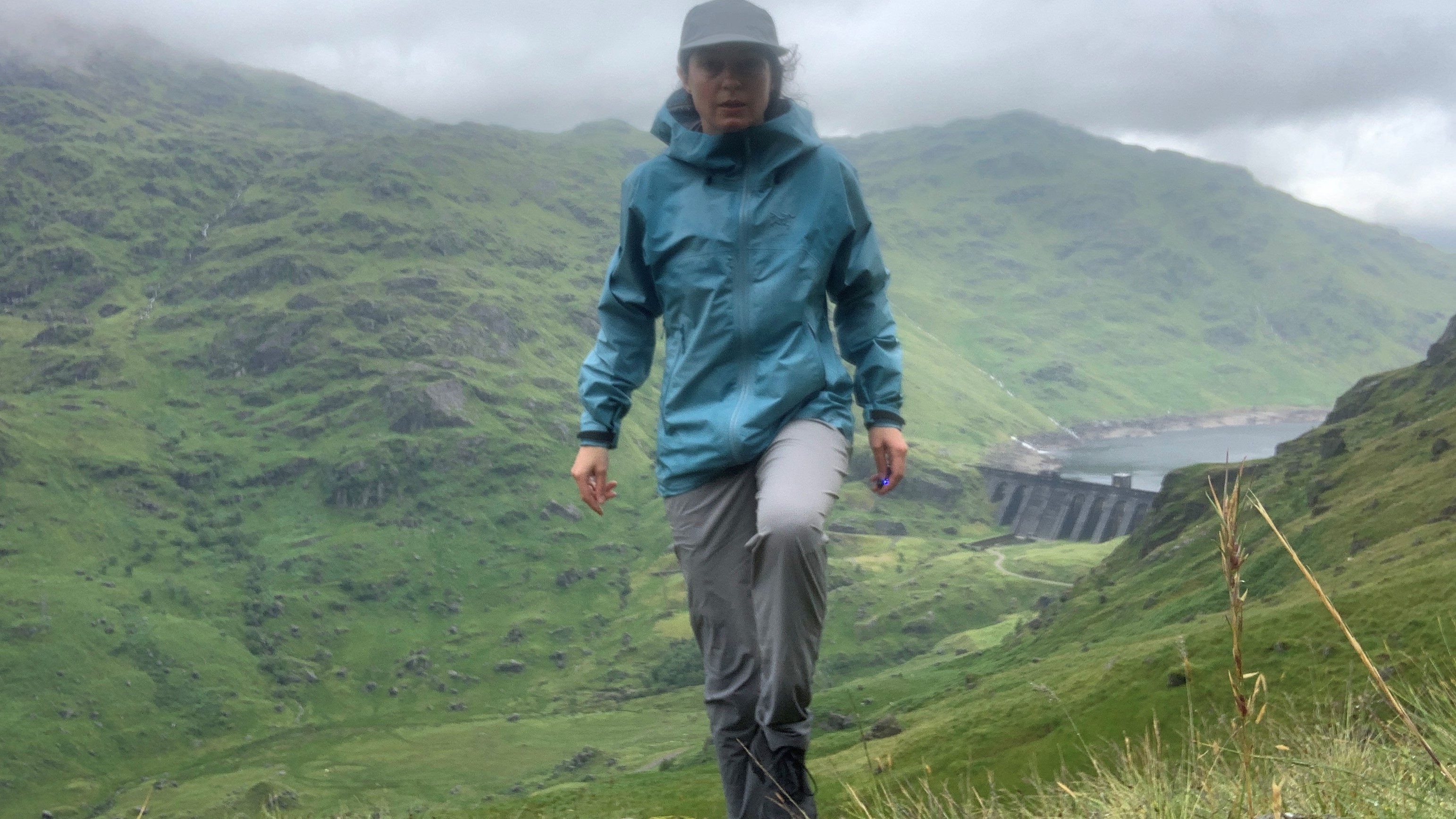
From the turn off, it's a well-marked trail with no scrambling and brilliant views down to Loch Sloy for almost the entire way. You'll reach a trig point which will make you think you're at the summit but in fact the true highest point is just a little further along at a rock cairn where you can sit down and shelter from the wind and enjoy some lunch with beautiful views of Ben Lui.
West Highland Way
Distance: As far as you like
Difficulty: Easy
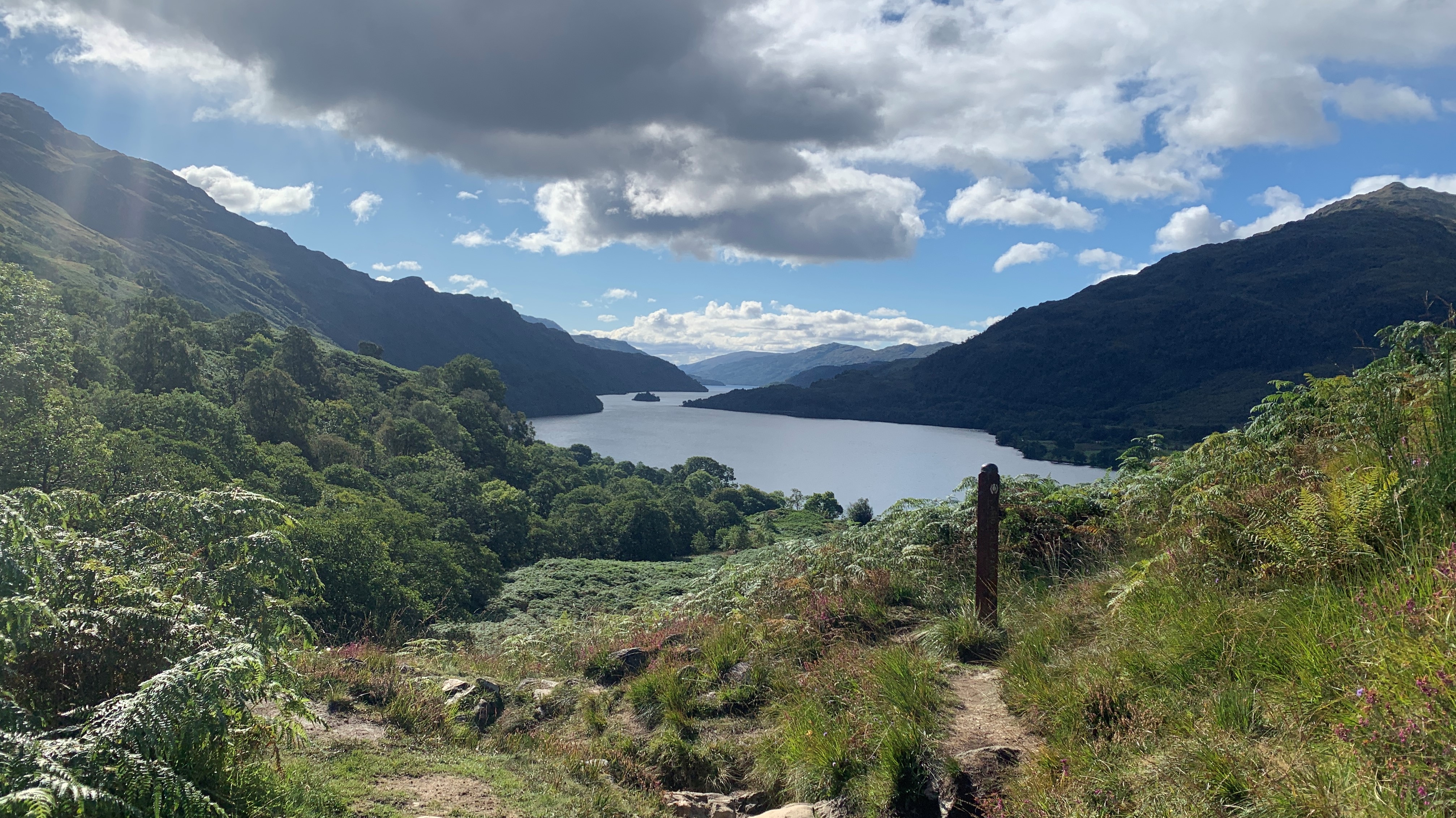
The world famous West Highland Way, which stretches for 96 miles from just outside Glasgow all the way up to Fort William, goes right along the eastern banks of Loch Lomond and in my opinion this is one of the most beautiful stretches of the trail.
To join the West Highland Way from Loch Lomond, drive or take the bus to the Drovers Inn, an allegedly haunted hotel at Invernan. From here, begin walking north on the A82 and within minutes you'll come to Beinglas campsite. Turn right to cross the bridge, walk through the campsite and you can join the Way here and walk either north or south as far as you like.
If you decide to go south, you'll soon find yourself walking along the gorgeous banks of Loch Lomond, on a rocky, undulating path, passing lots of sandy beaches where you can get your water shoes on for a wild swim. The rolling nature of this hikes means those who expect a paved trail consider it difficult, but it's nothing compared to the other hikes on this list.
In the summer months you can take a ferry back across the Loch when you arrive at the hotel at Inversnaid, which is about seven miles down the Way. For a longer trek, you can keep walking all the way to Rowardennan or Balmaha (16 miles) where you can find lodging .
If you choose to walk north, you'll be heading up towards Crianlarich and the Tyndrum, which is also about seven miles away and makes for some lovely forest walking with places to camp, find lodging and feast.
Ben Lomond
Distance: 7.5 miles
Difficulty: Moderate
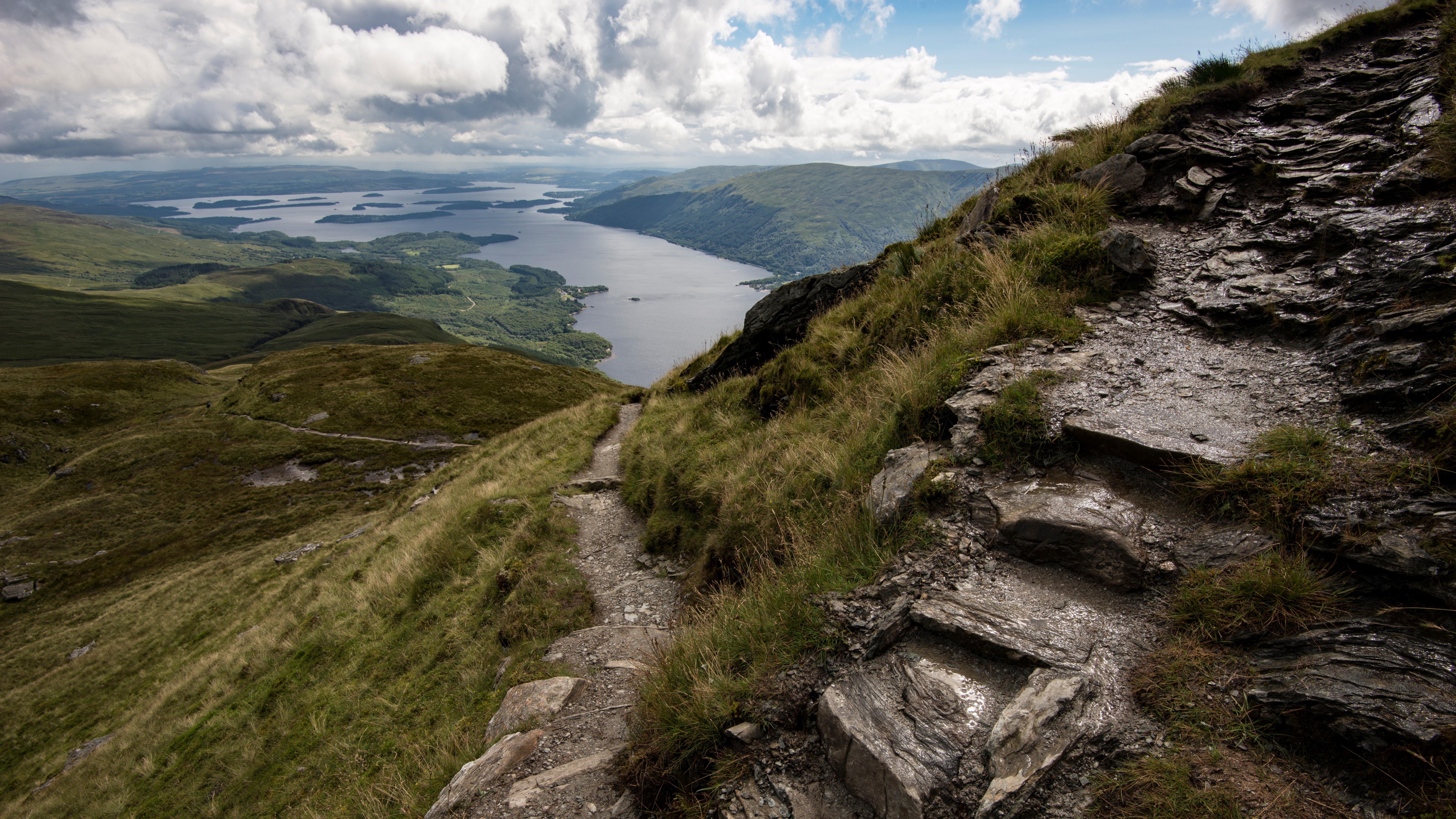
Ben Lomond is no doubt the best known mountain on the banks of Loch Lomond and it's the most prominent peak in the immediate area. Despite its length and Munro status it's not a particularly challenging hike with a clear path all the way to the summit and no scrambling involved.
Park at the large car park in Rowardennan and walk directly through the information center, which has toilets if you need them, to get on the trail. Initially you'll be climbing through oak trees and forest which is rich with brambles in the late summer months, but soon you'll break out from the trees and start to enjoy great views of the Loch.
Climb up onto the shoulder of the Ben then switchback your way uphill towards the summit where for the final push you'll be walking along an impressive narrow ridge. It's not difficult walking but keep your wits about you as you traverse the cliff edge across to the trig point at the summit.
From the very top there are marvelous views of the loch as well as the other Munros on this list. You'll see why this is one of the more popular hikes in all Scotland when you arrive.
Conic Hill
Distance: 2.5 miles
Difficulty: Easy
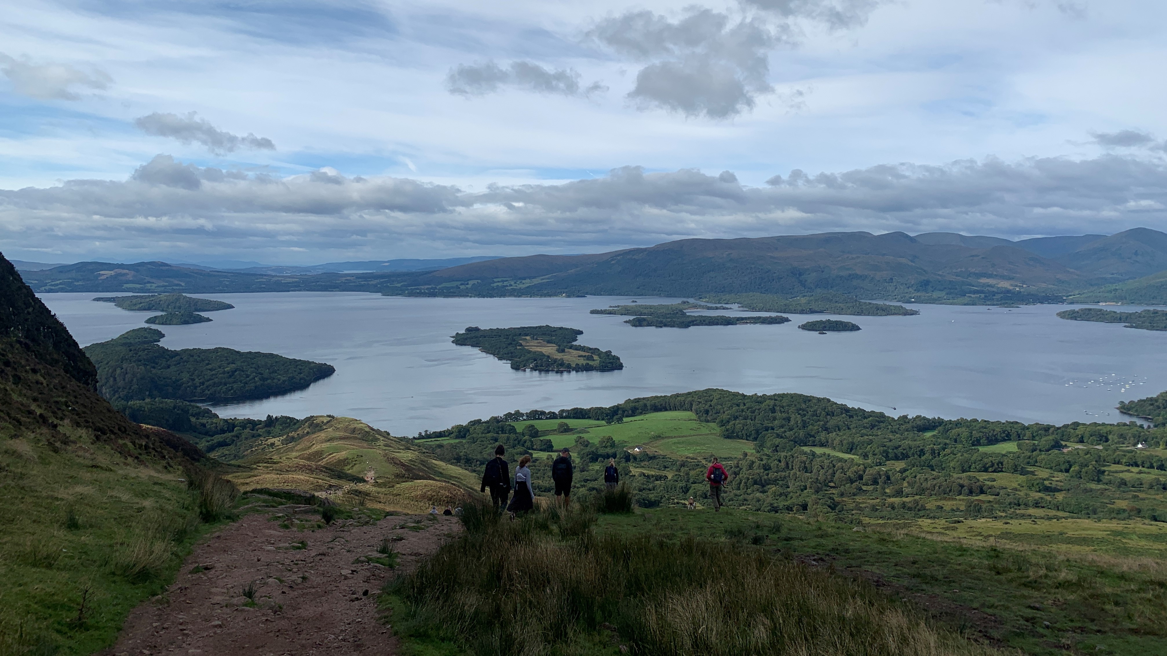
Working your way around now to the southeast banks of Loch Lomond, Conic Hill makes for one of the most popular hill walks in the area, partially owing to how much bang you get for your buck. This prominent little hill sits right on the Highland Boundary Fault line and for a short and fairly easy hike delivers breathtaking views of the loch.
Park in the large car park at Balmaha and pick up the trail from the car park from the end farthest from the road. Immediately turn right and start to walk through the forest, then turn left at the next trail junction. You are actually following the West Highland Way here so you can use those trail markers to guide you if you'd like.
From here it's an obvious path that takes you uphill and as soon as you leave the trees the loch will come into view. Initially the path will be heading between two hills with your destination being to the right, though you might want to take a short detour to the left for a breather and a moment to admire the views. Brilliant scenes await you from the top looking out over the loch and the Arrochar Alps. After a break you can return the way you came or keep going on the West Highland Way towards the town of Drymen where you can catch a bus back to Balmaha.


