
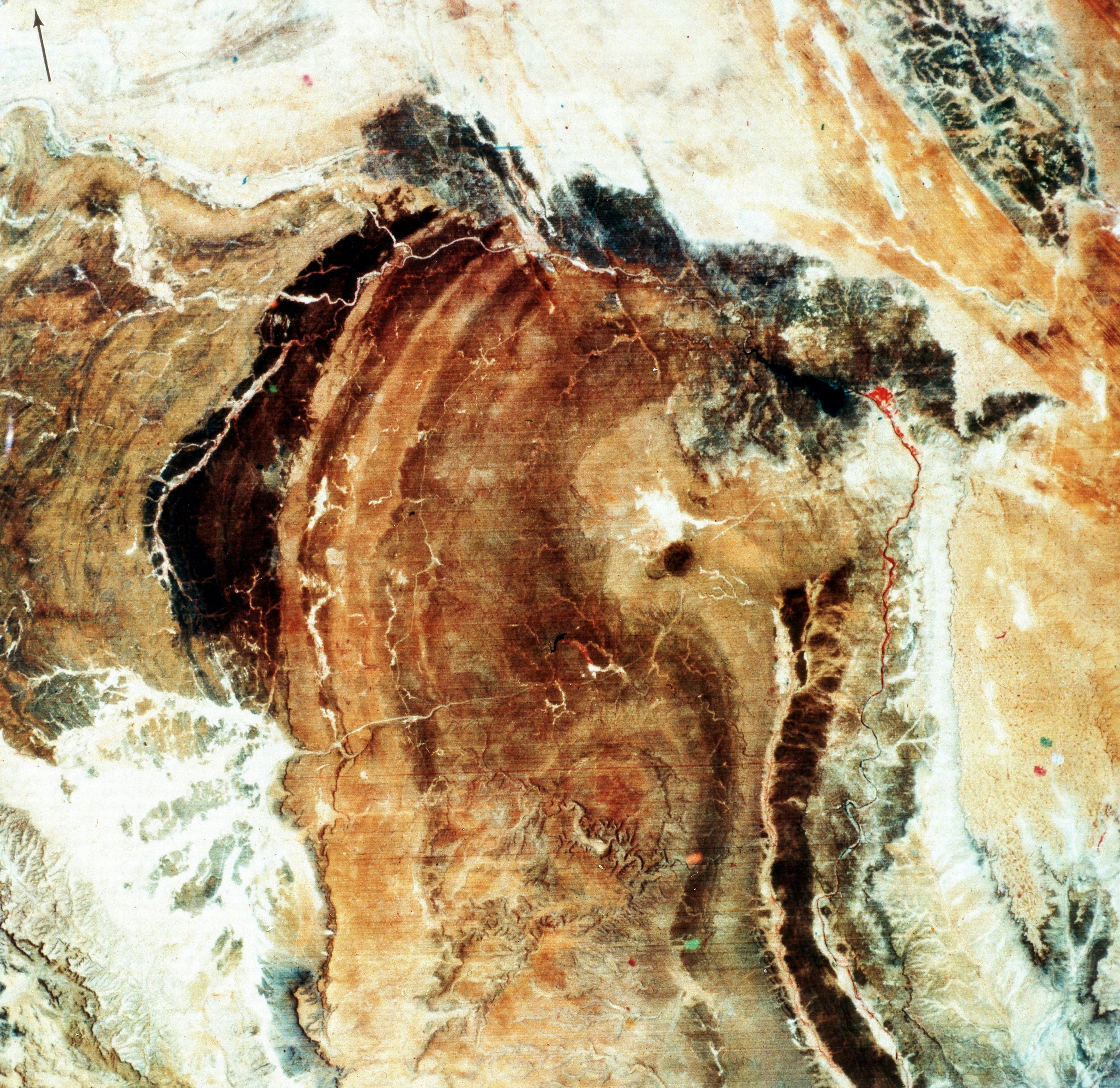
Fifty years ago, humanity gained a powerful new tool to study our home planet. That day, July 23, 1972, the National Aeronautics and Space Administration (NASA) and the United States Geological Survey (USGS) co-launched the first satellite, Landsat-1, in the Landsat program — the longest-running program to collect satellite imagery of Earth. The latest part of the fleet, Landsat-9, launched just last year.