
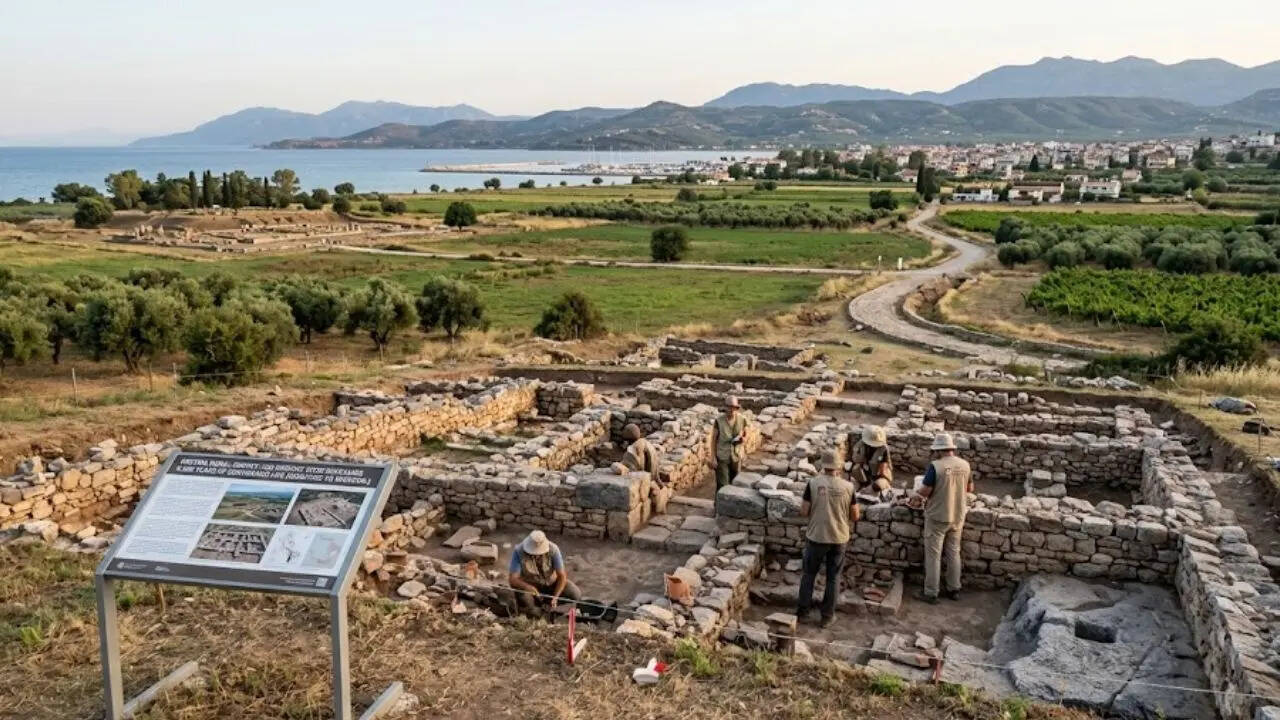
Through a lens of advanced technology, researchers have finally unmasked the enduring architectural and economic heartbeat of this ancient Greek landscape. A recent archaeological survey by the Swiss School of Archaeology in Greece (ESAG) has identified a sprawling rural network of over 200 sites covering an impressive period of 6,000 years of continuous human activity in the Eretrian plain region of Evia, Greece. ESAG conducted the survey using state-of-the-art LiDAR technology to penetrate the dense canopy and document a complex rural organisation connecting prehistoric settlements with the medieval churches of the area.
More than 30 square kilometres of land were mapped, yielding results such as ancient farms, industrial quarries, and medieval roads that connected different demes (areas of rural settlement) with the urban area of Eretria and the Sanctuary of Artemis at Amarynthos. The survey results provide an unprecedented view into how the people of Greece have been able to evolve and sustain themselves for 6,000 years from their earliest agrarian beginnings to the end of the 19th century. Ultimately, this digital uncovering bridges the gap between fragmented ruins and a cohesive, living history etched into the Greek soil.




